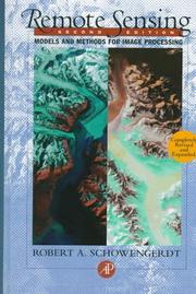
Remote sensing, models, and methods for image processing
Robert A. Schowengerdt · 1997 · 522 pages
As an Amazon Associate we earn from qualifying purchases. Some book links are affiliate links; you pay the same price and we may earn a small commission.
About this book
Remote sensing is the use of electromagnetic sensors to monitor the earth's surface and atmosphere. This technique can produce anything from topographic or geologic maps to two- or three- dimensional distributions of environmental parameters to the detection of developing hurricanes or floods. These sensors produce digitized data, so it is important that anyone working in remote sensing is familiar with the techniques used. This updated second edition discusses a unified framework and rationale for designing and evaluating image processing algorithms.
Appears in these reading paths

Best Books to Learn Remote Sensing and Satellite Image Analysis
Related reading guides
Reader reviews
Ratings and notes from readers — tagged with how deep into the subject they were.
Loading reviews…